
Route and Why This Order
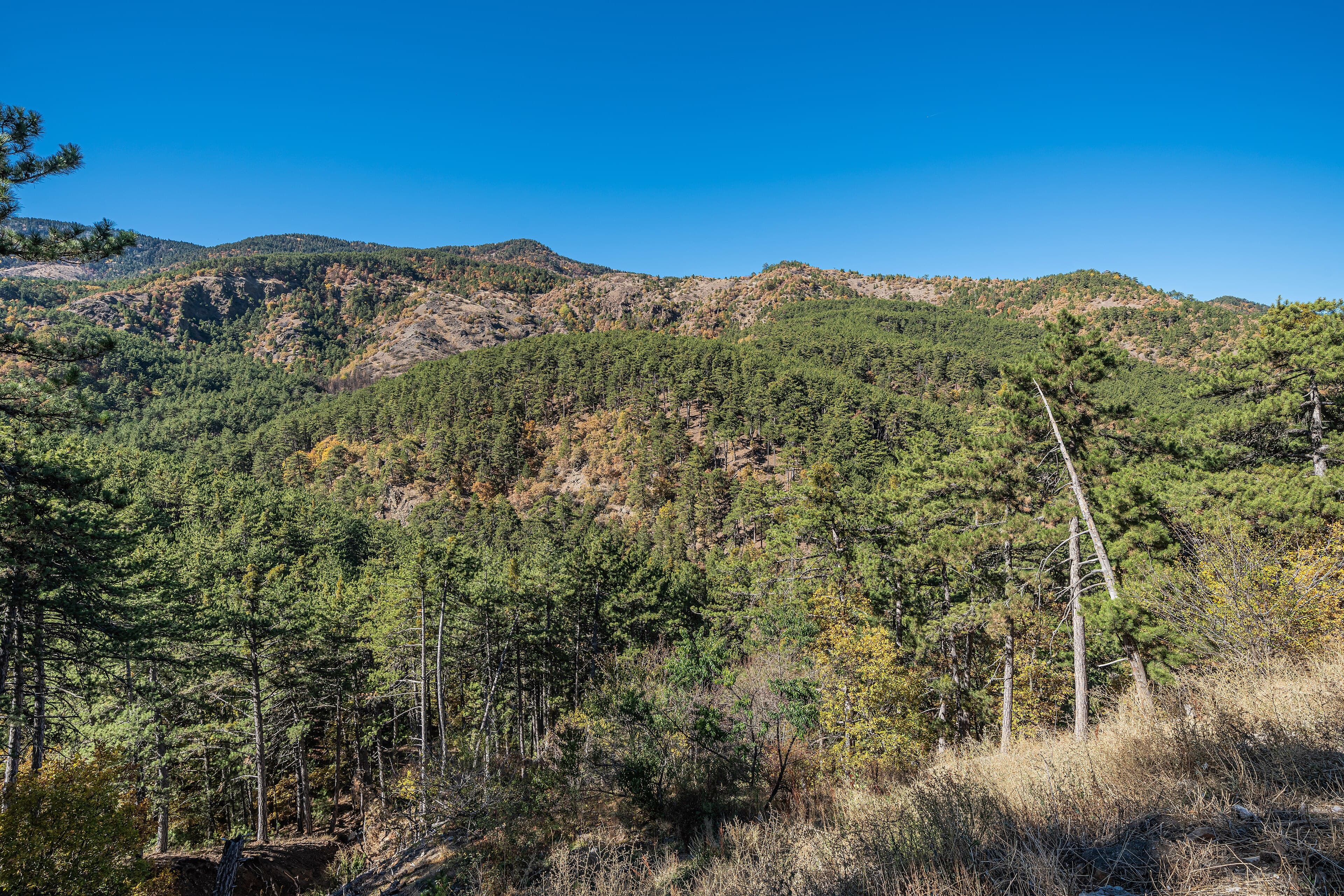
This route combines the natural riches of Kızılcahamam and Çamlıdere districts; given the distances, it should be done by car as a full-day tour. It begins at Soğuksu National Park; its 1,184-hectare forest area requires the day's longest walk, so it is placed in the cool morning hours. Right after, a short thermal break follows at Kızılcahamam Thermal Springs. Moving into Çamlıdere district, Çamlıdere Dam and Aluçdağı Nature Park are visited. The route ends at Pelitçik Fossil Forest, part of the Kızılcahamam-Çamlıdere UNESCO Global Geopark, and the 15th-century Peçenek Mosque; closing the day moving from a natural wonder to a historic structure is the way to show both the geological and cultural layers of the region.
Duration, Distance and Transport
The total distance between stops is about 58 km; the route fills a full day, taking roughly 8-9 hours. A car is needed for transfers between stops.
When to Go
Spring and summer are the best seasons for walking in Soğuksu National Park. In winter, after snowfall, the area offers a different but striking view — in that case road conditions should be checked in advance.
Local Tip
Completing the walk in Soğuksu National Park before stopping at Kızılcahamam Thermal Springs makes the best use of the thermal waters' muscle-relaxing effect.
- 1
 Place
PlaceSoğuksu National Park
- 2
 Place
PlaceKızılcahamam Thermal Springs
- 3
 Place
PlaceÇamlıdere Dam
- 4
 Place
PlaceAluçdağı Nature Park
- 5
 Place
PlacePelitçik Fossil Forest
- 6
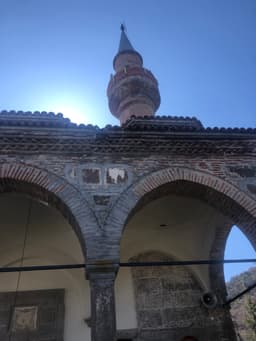 Place
PlacePeçenek Mosque